


The software in mobile mapping systems offer one very important benefit; owners can expect their tools to continue evolving long after the initial purchase.
In today’s most advanced commercial and consumer technologies, software is becoming absolutely integral.
The powerful camera in your smartphone, for instance, relies on complex software to perform tasks that should be impossible for hardware alone: It takes the perfect exposure at the press of a single button, it shoots crisp, noise-free photographs in almost total darkness. Modern cars are the same story, from the Tesla sedans that use complex algorithms to drive autonomously, to the electric hybrids that use software to manage power usage.
Some have called this trend “software eating the world,” and it extends even to the world of survey and documentation tools.
Software has transformed survey work
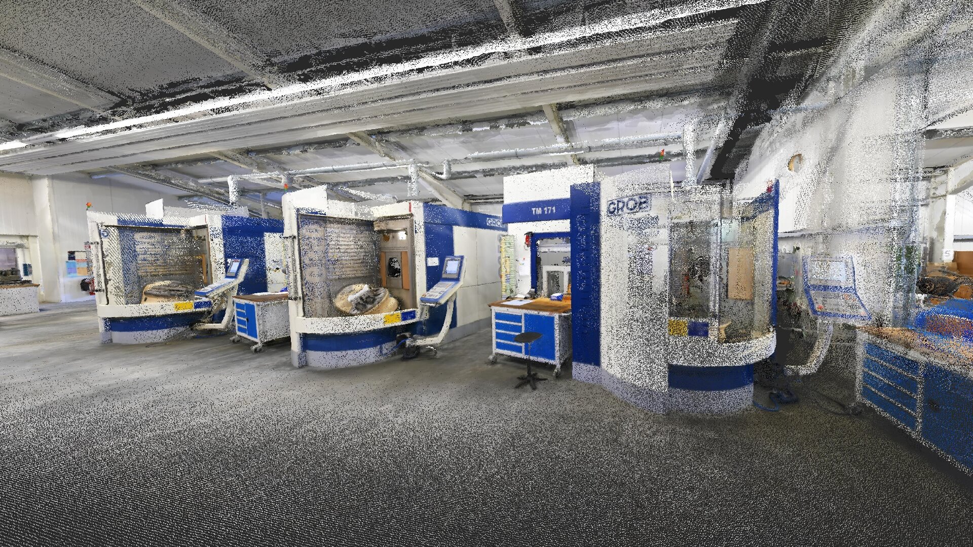
For a long time, documentation was performed with manual tools like tape measures, theodolites, and total stations. Then came laser scanners, which use software for basic control of the device and for processing 3D point clouds.
Mobile mapping systems exploited the possibilities of software even more, using it to optimize the workflow from end to end. Here are just a few of the ways they use software and data processing to make documentation easier:
- enable 3D capture while you walk;
- offer live feedback in the field;
- fuse data from different sensors to produce photo-realistic documentation;
- process data to make the point cloud more accurate than the sensor is spec’ed for;
- filter data in post-processing to return crisp, noise-free results.

The hidden benefit of software
Beyond the optimization we’ve mentioned above, the software in mobile mapping systems offer one not-so-obvious benefit beyond: Buyers can expect their tools to continue evolving after the initial purchase.
Even though a vendor will make a mobile mapping system as complete and high-quality as possible on release, they will also exploit the software to upgrade their devices after the fact. Rather than simply offering firmware updates for maintenance or bug fixes, they will often supply free software updates that improve data quality and usability.
Let’s see a few examples of how this works in practice.
Updating SLAM for more accurate point clouds
The simultaneous localization and mapping (SLAM) in a mobile mapping system is a software-based function that fuses data from the sensors onboard the device and produces the final point cloud. By improving the quality and accuracy of the SLAM with software updates, a vendor can increase the accuracy of your final point cloud.
They could update the SLAM to keep up with new advances in the technology. Imagine there is a research breakthrough in SLAM, and it enables the lidar sensor in your mobile mapping system to produce more accurate point clouds with no additional hardware. In theory, a vendor can apply this new approach to their SLAM software and release an update to you free of charge.
A vendor can also improve its SLAM by paying careful attention to the way their users are using the device and then adapting to their needs. They can look for patterns—for instance, if users tend to take longer scans rather than shorter scans—and then optimize the SLAM to perform better in that application and return more accurate data.
A vendor can also update the SLAM to handle edge use cases that the design team might not have been able to predict. Here’s a real-world example: After the release of NavVis M6, some users reported problems with the SLAM tracking in rooms with a very specific shape. The support team looked at the data and saw that the point clouds in these were sometimes “wobbly,” meaning when they displayed the data in a floor-plan view, the walls and floor were distorted.
To improve the final data produced by the device, NavVis’ mapping and perception team built a full test suite to examine the problem from a quantitative perspective. They captured a variety of data sets in circumstances that reproduced the problem and compared the results against surveyed control points to review the error.
Next, they tweaked the calibration algorithms and the SLAM for NavVis M6, and then tested the results. They did this over and over again, iterating on various research ideas and hunches, improving the SLAM incrementally to increase its accuracy and improve its performance.
The team fixed the problem, both qualitatively (no more “wobbly” point clouds) and quantitatively (a low error for point clouds when compared against control points). Lastly, they updated the software in NavVis M6 for future customers and pushed it out to existing customers for free.
Improving live feedback for better usability (…and better data)
Many mobile mapping systems use a tablet-based software interface to display live feedback as you scan. By updating this interface after the release of the system, vendors can respond to customer workflow challenges to help a wide variety of users capture better data.
That might mean adding a simple message that tells users the recommended number of control points for their scan, offering an alert that tells the user the right moment to make a loop closure, and so on.
Often it means adding a whole new feature. Here’s another real-world example to show how that plays out: After the initial release of NavVis M6, the support team was receiving requests from customers that were having trouble with their control points. They would capture the control point during their scan, and then come back to survey the point and find that the point wasn’t where they left it.
This was causing problems in the data processing stage, since the control-point functionality relies on survey coordinates to fully optimize the quality of the point cloud, and the users rely on the control points to register different data sets together.
NavVis initially looked at updating the processing software—but decided it was most effective to add a new feature to the operating interface. They added a “redo” function that allowed users to delete the original control point and capture it over again. This enabled the users to address the problem in the field with little effort.
Again, they pushed this update out for free. By doing this, they improved the usability of the device, eliminated problems in post-processing, and produced higher quality data.
Software means longevity for your device
Since mobile mapping systems rely on software to optimize every part of the workflow, they’re able to offer benefits that other systems can’t. Vendors can make changes to this software to improve the device in the future. They can update the SLAM processing to make point clouds more accurate or add features to make the workflow even simpler.
NavVis M6 is a great example. As you’ve seen above, the tool has received a series of updates and new features over its lifetime that make it much more powerful now than when it was released—and it will continue to improve into the future.
The biggest takeaway? A mapping system that relies on software for optimization is not a static piece of equipment. It’s not a piece of set hardware, with set firmware, that will never change, gain new features, or improve after the day you buy it. It’s a dynamic tool that can evolve long after the release date, getting even better as the vendor learns and improves the product over time.
Sean Higgins is an independent technology writer, former trade publication editor, and outdoors enthusiast. He believes that clear, buzzword-free writing about 3D technologies is a public service.