
Next-Gen Topographic Mapping:
Exploring Wearable Mobile Technology
Webinar on-demand
Hosted in April 2024
Speakers
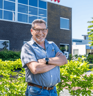
Erik van Duffelen
Project Manager, MUG Ingenieursbureau
Erik van Duffelen
Project Manager, MUG Ingenieursbureau

Karl van Duffleen
Senior Account Executive, NavVis
Karl van Duffleen
Senior Account Executive, NavVis