
Smarter Surveying Workflows with NavVis, TopoDOT, and ETM
Webinar on-demand
Hosted in August 2025
Speakers
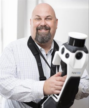
Frank Hahnel III
Account Executive
NavVis
NavVis
Frank Hahnel III
Account Executive
NavVis
NavVis
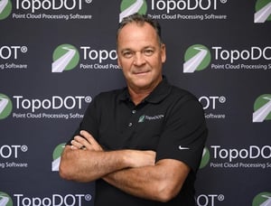
Paul Digiacobbe
Senior Director
TopoDOT
TopoDOT
Paul Digiacobbe
Senior Director
TopoDOT
TopoDOT

Scott A. Graham
Chief Surveyor
England-Thims & Miller, Inc.
England-Thims & Miller, Inc.
Scott A. Graham
Chief Surveyor
England-Thims & Miller, Inc.
England-Thims & Miller, Inc.