About the project
NavVis customer LE34 is Denmark's largest provider of surveying and land management services. The NavVis team recently visited LE34 in Aarhus where NavVis VLX 3 was used to scan a road intersection. The data was processed in NavVis IVION Processing and subsequently used to generate a topographic road survey.
With the launch of NavVis VLX 3 comes a whole new world of application possibilities, including scanning for topographic or detail surveys. Thanks to improved SLAM robustness and higher detail at range, more precise and comprehensive outdoor capture is possible. Surveyors can scan complex sites quickly and in great detail without losing any of the benefits of standard terrestrial scanning. And the best part - the cost savings from only having to visit the site once.
Site details:
- Size: 8,209 sqm
- Scanning time: 32 minutes
- Topographic as-built road survey
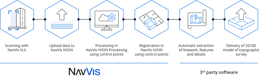
NavVis optimizes your topographic surveying workflows.
From data capture to delivery, the NavVis Technology seamlessly integrates with 3rd party hardware & software resulting in a hybrid solution that’s fast, accurate and delivers quality results. Check out the example below for more.