

Westfälische Hochschule uses NavVis M6 to capture 24,000 sqm of their Gelsenkirchen campus in North-Rhine Westphalia, Germany.
We like to shine a spotlight on many different stories from our customers on the NavVis blog. It doesn’t matter how big or how grand the uses may be, it’s simply a great privilege to see our technology being put to good use.
Case in point is this reality capture project conducted in summer 2020, where a small team at the Westfälische Hochschule used laser scanning to document 24,000 sqm of their Gelsenkirchen campus in North-Rhine Westphalia, Germany.
Guiding the NavVis M6 mobile mapping system through the empty halls and auditoriums during a long weekend, a group led by project manager Markus Thomzik completed the process of capturing the multi-storey building in only three days.
The 3D mapping was conducted on behalf of the state’s Ministry of Economics, Innovation, Digitization and Energy, which seeks to develop and implement new use-cases for technology in the region. For this project, the purpose of the scan is to develop applications for building and facility management.
A mobile mapping device for all levels of experience
Supporting Markus in the scanning session was staff member Alexander Schweitzer and laser scanning specialist Gerd Karl. They took turns pushing NavVis M6 around the campus, calling upon all six cameras and four lidar sensors to document the surrounding environment as high-quality point clouds and HD panoramas.
"With the NavVis M6, we are going to make a digital scan," asserts Markus Thomzik with confidence. Because even though not members of the group were experienced laser-scanning professionals, after a short training session they were ready for the task thanks to the user-friendly controls and interface.
Before the scanning could begin in earnest, however, all signs, billboards and information boxes on the campus corridors had to be concealed or taped off. The intention here is that, once the scan data is processed and made available through tools like NavVis IVION Core (previously known as NavVis IndoorViewer), the 3D visualization wouldn’t feature outdated information if building information was subsequently changed.
The scanning session was complete by Monday, so the crew could pack away their trusty NavVis M6 and peel away the stickers covering up the signs. All that remained was for the processing of the point cloud data, and the first digital twin of a university in North Rhine-Westphalia was ready for prime-time.
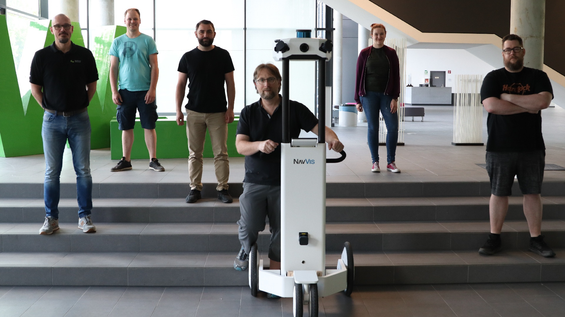
Image and video credits: connect.emerschlippe