Digitalization and big data have gone from corporate buzzwords to an everyday reality for many sectors, driven largely by ‘Industry 4.0’ and the manufacturing industry’s thirst for efficiency and cost reduction.
In the last decade alone, we’ve witnessed major breakthroughs in cloud computing, automation, analytics, and the internet of things (IoT), that have triggered a knock-on effect in surveying. Recent advancements in speed, mobility, and agility have challenged the way we work and collaborate, redefining traditional workflows and opening a new world of applications and markets.
But what does this mean for the future of the modern surveyor?
The evolving role of the surveyor
With a history dating back to the ancient Egyptians, surveyors have provided the foundations for societal decision-making. From cadastral surveying to collect taxes and conquer new lands, to 3D mapping to build public infrastructure and transport networks, surveying has always been integral to modern society and the development of the built and natural environment.

Today, the demand for spatial data has exploded, with governments and corporations alike recognizing the power of location data; to support development, realize greater performance, and meet sustainability goals. The conceptualization of smart cities, smart highways, and automated vehicles has further fueled the demand for data capture, creating new commercial opportunities for surveying.
The potential for the modern surveyor is huge, transitioning from capturing coordinates one job at a time and in just one moment of time to helping clients achieve their corporate imperatives, adding strategic value as data scientists and consultants.
The impact of emerging technology
The modern surveyor is far removed from that of 50 years ago, even 10 years ago when terrestrial laser scanning was taking off and augmented reality was just a concept. We’re now working in a different technological landscape with a range of sophisticated reality capture tools and advanced post-processing platforms to choose from. Emerging sensor technology, mobile LiDAR, and intelligent automated workflows have enabled surveyors to capture large-scale projects much quicker than ever.
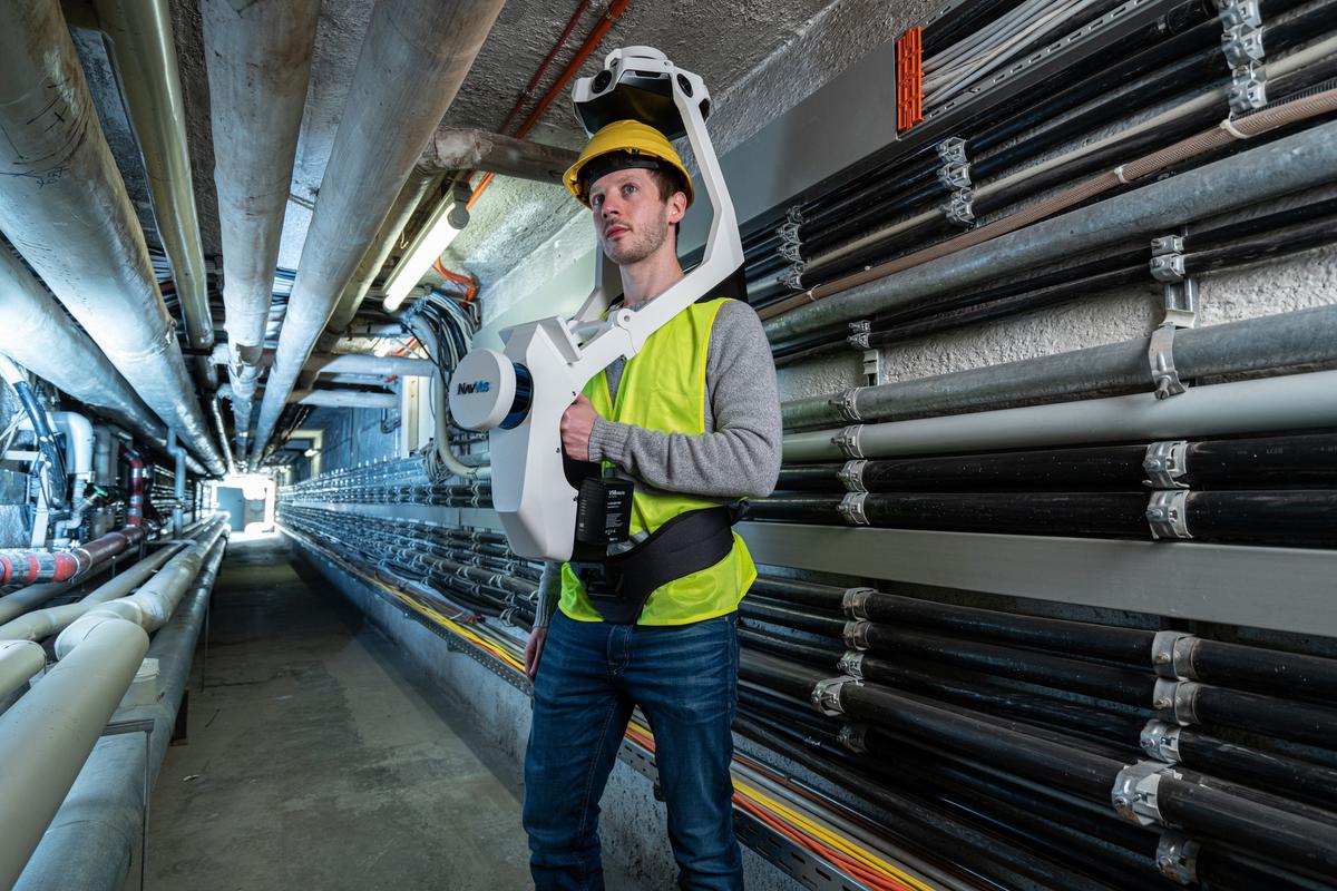
Previously inaccessible areas are now accessible with user-friendly, portable tech such as NavVis VLX mobile mapping system, opening new applications for construction, surveying, and laser scanning industries. The integration of artificial intelligence has allowed surveyors to automate time-consuming tasks, such as identifying and classifying features such as fire alarms, electrical points, etc. driving productivity, lowering costs, and giving surveyors the opportunity to add further value to clients.

Advanced data processing anywhere any time
There is no doubt that cloud computing and advancements in cyber security have revolutionized the ability to scale up the volume of data quickly and easily. No longer does the modern surveyor have to waste hours battling adverse weather conditions contending with slow data handling speeds, clunky computers, and insecure FTP sites.
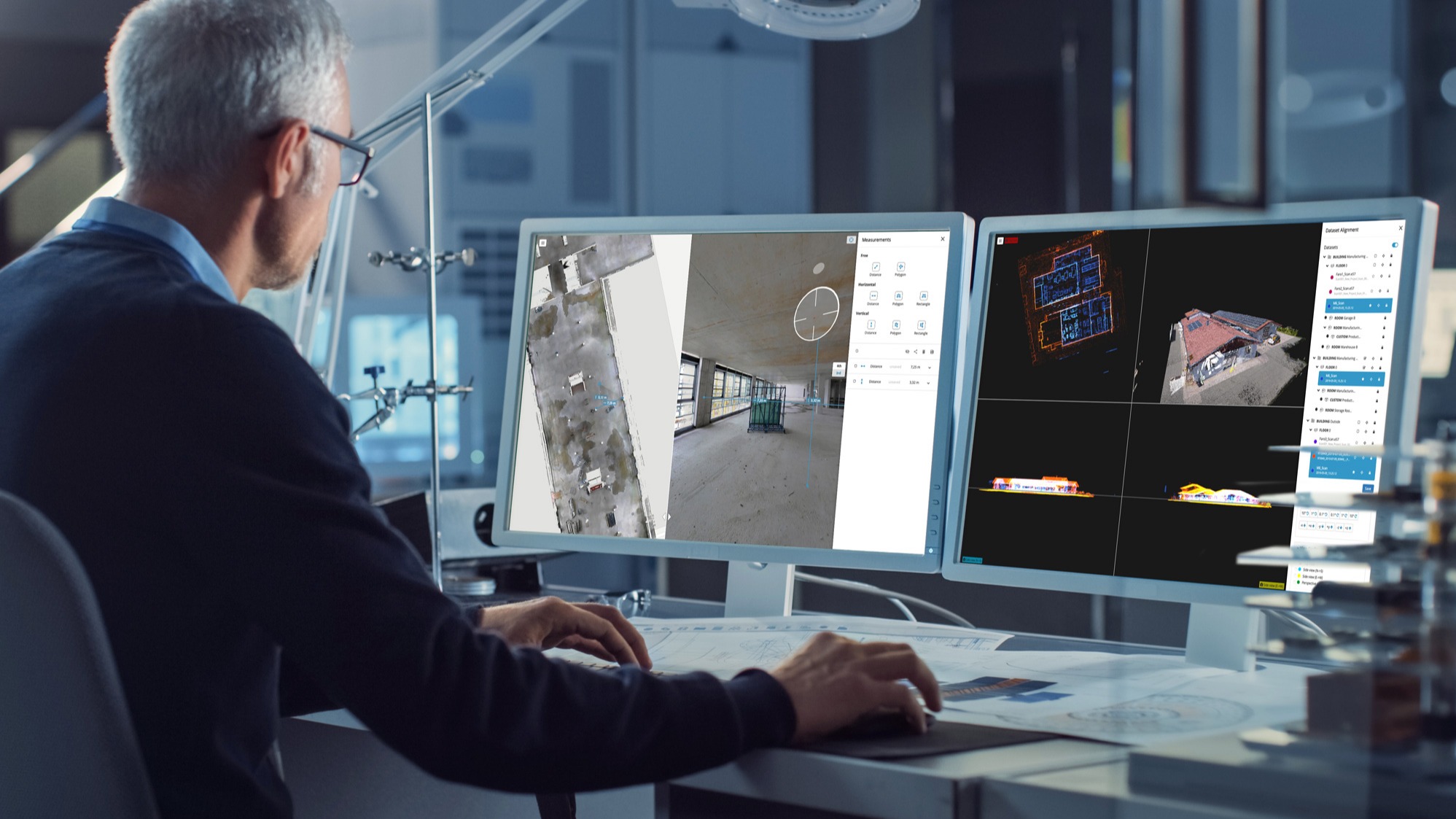
Powerful online analytics tools such as NavVis IVION offers a new level of on-demand scalability, with the ability to integrate multiple data sources, process large datasets, and share high volumes of spatial data securely online in real time. Empowering surveyors to work anywhere at any time is particularly valuable with the growth of home working, future-proofing the industry, and its ability to react to global shocks such as the COVID-19 pandemic.
A new standard in visualization and collaboration for clients
Cloud computing is redefining real-time communication, collaboration, and information sharing. Surveyors can add more value to clients than ever before by bridging the gap between the physical and digital worlds. With a new level of fully immersive 3D visualization, clients can interact with assets repeatedly, and remotely, collaborate with stakeholders, and make fact-based decisions quickly, without the knowledge of how to handle large datasets or use specialist software.
Wrapping up
We’re living in a data-centric world that is hungry for location data. Markets are increasing, technology is developing, and the desire for efficiency, safety, cost reduction, and sustainability is paramount. By 2045 the world’s urban population will increase by 1.5 times to 6 billion, and the speed and scale of urban expansion will no doubt put pressure on housing, and public infrastructure.
If they're open to embracing change. there is huge potential for the future of the modern surveyor to become strategic partners for commerce and government alike; to enter new markets, enhance client deliverables and sustain commercial profitability.
Learn more about how the NavVis Reality Capture Solution can help usher in this change →

