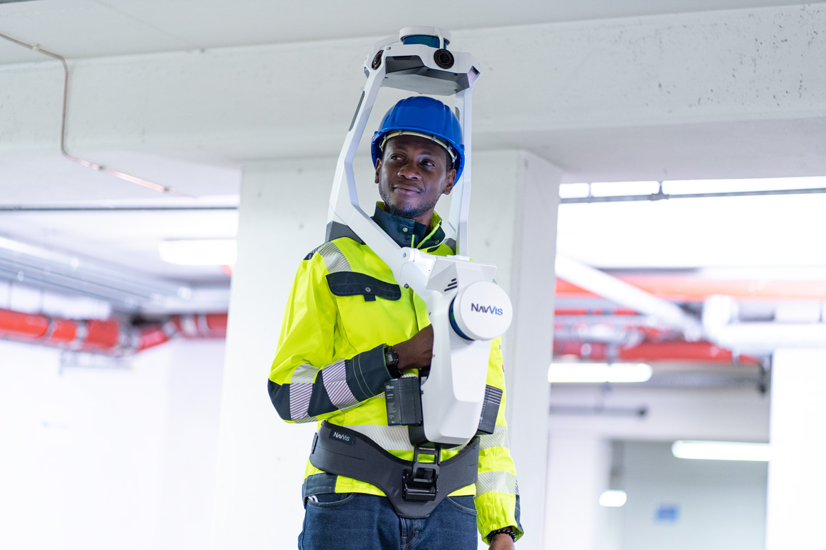
Mobile mapping technology has matured significantly in the decade or so since it first hit the market. Today’s mobile scanners are many times faster, produce much higher quality data, and cost much less than earlier models.
A lot has changed—and that’s why we recently conducted the first industry-wide survey on the state of mobile mapping. We partnered with leading industry publications and polled laser scanning professionals across the world to get hard data on how the industry really feels about mobile mapping.
The survey offered a number of interesting takeaways, but it was lacking one crucial element: in-depth insight from our industry’s most respected thought leaders. That comes courtesy of our latest webinar, The Great Mobile Mapping Debate: Things have changed. We gathered two eminent 3D capture professionals with more than 25 years of experience each to share their thoughts, observations, and pro tips about mobile mapping.
Read on below for a small selection of insights about mobile mapping. You’ll hear from Matthew Craig, owner and president of Visual Precision Solutions, and John Russo, president and CEO of Architectural Resources Consultants (ARC), and president of the US Institute of Building Documentation.
Insight one: Accuracy is no longer the top concern
When purchasing a terrestrial scanner, it’s common to think about sensor accuracy first, and other factors second. But when you’re looking to buy a mobile mapping system, you need to think differently.
“Personally,” says Russo, “the first thing of importance for me is the quality of the data. Am I going to be able to see what's in this data and use it for the intended purpose? If I can't see what I need to see, then there's no point. Accuracy is a close second, because if I can see it, I want to know how accurate it is to know if I can rely on this data at that point. And then, of course, speed of acquisition, the speed working with the data, and the speed of the workflows that that follow.”
“But those don't matter,” he concludes, “unless I can see what's in the data.”

Insight two: Cost analysis has changed
Mobile mapping also requires a new way of thinking about costs, Matt Craig explains.
“There's more to costs associated rather than just the cost of the equipment,” he says. You need to think about factors like “the investment in time changing work processes, in educating the customer base, and even the investment into the value proposition, into fundamental factors like, Does it help me execute my job faster? Does it lower my cost overall costs? Does it improve the quality of the deliverable in my specific industry? Does it allow me to execute project work safer, so better, faster, cheaper, safer?”
There are also a number of less obvious costs. Craig says it’s important to ask, “Are there people on your team who would be uncomfortable with change?” That could be a hidden cost. There’s also the cost of falling behind: If you continue to use traditional methods while your competitors adopt new tools like mobile mapping, they are going to increase their productivity and widen their margins. Which means they’ll gain a competitive advantage.
“People who are in the process of growing will always re-evaluate where technology is, and then use it to differentiate themselves and grow,” he says. “If you’re not moving forward, you’re moving backward.”
Insight three: It’s time to expand your offerings
Mobile mapping requires new thinking about tool selection and overall costs. But, as our panelists note, it also enables laser-scanning professionals to broaden their thinking and look at new markets for their 3D-capture services.
Russo says that mobile mapping systems have encouraged his company ARC to consider offering services that were previously impossible.
“We all want to know, what’s the next horizon for us?” Russo asks. “As our industry evolves, I think mobile mapping is going to play a tremendously big part in rapid data acquisition, which is going to be critical. A lot of what I do is more traditional as-builts, and providing that type of information for some owners. Asset management isn't something we do a lot of right now, but I can see this changing, and mobile mapping tools are going to give us the ability to offer asset management to our clients, because they simplify the process.”
Craig says that mobile mapping could play a huge part in the development of technologies like the digital twin, AR/VR, and AI. That’s because these technologies are going to increase demand for high quality, up-to-date, and relevant 3D data—just the sort of thing that an experienced professional can capture with a mobile mapping devices.
In short, he says, technologies like mobile mapping are “going to open doors to other marketplaces. And that’s exciting to me.”

Wrapping up
This is just a quick overview of some insights from our recent webinar The Great Mobile Mapping Debate: Things have changed. For more thoughts, opinions, and pro tips from our eminent panelists, check out the full webinar here.
Sean Higgins is an independent technology writer, former trade publication editor, and outdoors enthusiast. He believes that clear, buzzword-free writing about 3D technologies is a public service.
