


NavVis IVION
Turn your site data into decisions, today
A platform that transforms high-precision reality capture data into clear, collaborative digital spaces that everyone, regardless of their role, can access, understand, and act on.

Streamline processes with NavVis software
No matter your industry or role, NavVis IVION features and integrations are built to seamlessly support and fit into every stage of a workflow, making daily tasks more efficient and impactful. Discover how NavVis software simplifies, streamlines, and improves essential processes.
Quick, seamless processing of real-world conditions for trusted results.
Learn more
One tool to accurately align, refine, and manage point clouds and panoramas.
Learn more
Capture and convert real-world site conditions into accurate, BIM-ready documentation – streamlining planning, modeling, and collaboration.
Learn more
Visually compare 3D models, point clouds, and panoramic images within NavVis IVION.
Learn more
Plan projects with confidence using up-to-date site information. Provide teams with digital views of sites – accessible anytime, from anywhere.
Learn more
A shared source of truth for smarter conceptual planning – built on real-world data.
Learn more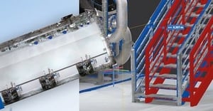
Accelerate documentation, reduce rework, and streamline construction verification with NavVis reality capture technology and virtual site access.
Learn more
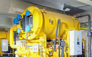
Turn facilities into a data-rich environment where assets, issues, and insights are visible, actionable, and always up to date.
Learn moreIntegrate it into your workflow
NavVis IVION integrates with industry-leading third-party solutions to simplify workflows and maximize project efficiency.


NavVis IVION resources


.jpg?width=300&name=navvis_41%20(1).jpg)

Trusted across industries
Join a growing list of companies using NavVis technology to simplify workflows, accelerate results, and maximize operational efficiency. Click a logo to see how they’re succeeding with NavVis.