

Lidar is a laser technology that captures the surfaces of an object or a space in three dimensions. The word “lidar” is an acronym for LIght Detection And Ranging.
The roots of this technology reach back to 1938, when pulses of light were first used to measure the height of clouds (seriously). But don’t let that fool you: Lidar is crucial to a variety of cutting-edge industries, including robotics, autonomous vehicles, space exploration, survey, architecture, engineering, construction, and more.
There may even be a lidar sensor right next to the camera in your iPhone, or directing your robotic vacuum so it doesn’t fall down the stairs.
How does lidar work?
Today we’ll focus on the type of lidar most commonly used in 3D-capture applications. It works using the principle “time of flight.” Much like the laser rangefinders you would use to find the dimensions of a room.
Let’s start by exploring how time of flight works in a laser rangefinder:
- The device fires a laser
- The laser bounces off the wall
- …and returns to the device
- The device measures the time between the firing and the return (also known as the laser’s time of flight)
- The device calculates the distance to the wall
.gif?width=795&height=447&name=what%20is%20lidar_how%20does%20it%20work%20(1).gif)
How can the device do that? As you know, the speed of light is constant. If we look at the very simple equation for calculating distance using time of flight (distance = speed x time), we’ll see that the device now knows two of the variables: speed and time. It can easily calculate distance. Voila.
There are a few other types of lidar sensor—including some that measure distance using the distortion of waveforms. We’ll get to those in a future article.
How does a lidar 3D scanner work?
To use this lidar sensor to capture a space in 3D, you’ll need a method for directing the laser so it sweeps the space automatically. Manufacturers have developed a lot of clever ways to do this over the years, including microchips and spinning motors.
The oldest method is a mirror. As the laser fires off hundreds of thousands of pulses per second, the mirror spins in two axes to direct the lasers, which then blanket the surrounding environment.
In a matter of seconds, this rudimentary 3D laser scanner can measure millions of points in three dimensions. This gives it a cloud of single-point measurements, better known as a point cloud — the basic data type generated by a lidar sensor.
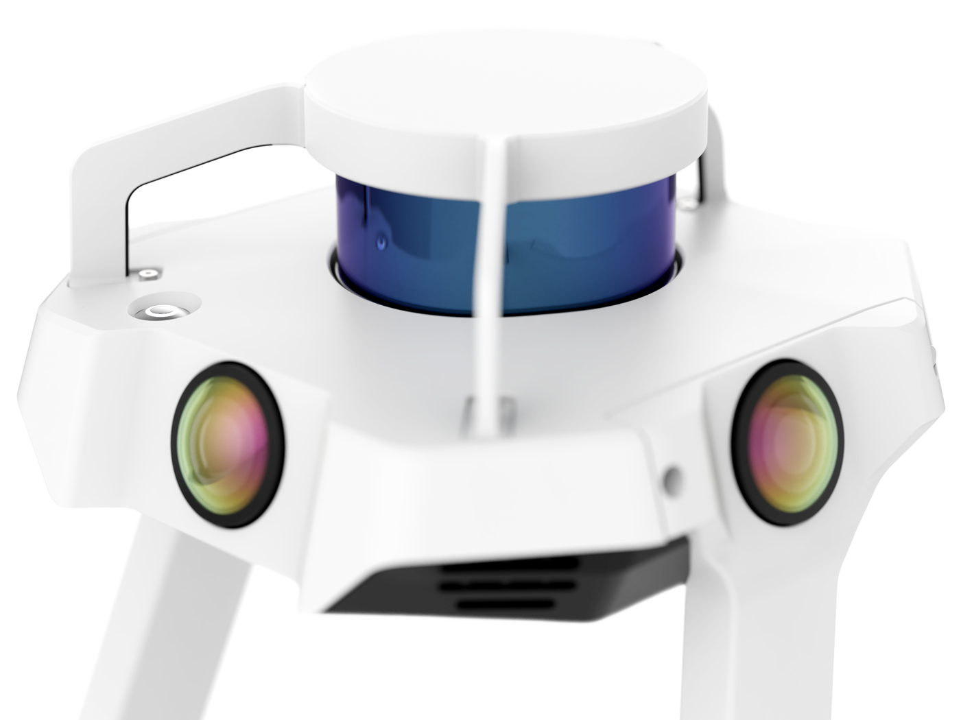
What other technology is in a lidar scanner?
Any 3D laser scanner you might use is much more than a simple lidar sensor and a method for directing the laser around. It includes a few more important technologies that make it easy for you to capture your environment.
A lidar scanner might include:
- Inclinometer, accelerometer, or IMU (inertial measurement unit)
A lidar sensor as described above would have no idea what way is up or down. These mechanisms use gravity, enabling your 3D laser scanner to understand its pose in space — and orient the point cloud correctly. - Camera
Not all devices include a camera, but a camera enables a 3D laser scanner sensor to capture color information for its surroundings, in addition to distance and intensity information. A camera is sometimes used in mobile mapping systems as another data stream for the SLAM algorithm.
(This algorithm is the technology that enables you to walk as you capture. You can learn everything you’d want to know about SLAM on our learning page here). - Computer
Virtually every 3D scanner includes an onboard computer. This will perform tasks like controlling the lidar sensor, performing some processing on the point cloud, and storing point cloud data in memory. In a mobile mapping system, the computer also runs the SLAM algorithm. - Screen
So you can select settings for accuracy and distance, and in some cases see feedback on the scan. - Total station
When a 3D laser scanner is built to measure at the absolute highest accuracy, it can be combined with a traditional total station. This makes it easy to lock the point cloud to survey control.
What applications is lidar 3D scanning used for?
As we explained earlier, lidar is used for a variety of applications in a variety of industries. But when they’re built into 3D laser scanners, lidar sensors specialize in applications where you want to capture the measurements of stationary objects, structures, or landscapes.
You’ll see them used for projects like:
- Floorplan generation
Use the 3D laser scanner to capture a structure like an office building, and cut the point cloud down to a 2D floor plan for space-planning purposes. - As-built verification
Produce a point cloud of a construction site in progress. Compare it against the design model to see if everything is going to plan. - Existing conditions models
Before a building project begins, capture the site to produce a detailed model of existing conditions to aid design and construction workflows. - Scan-to-BIM workflows
Many buildings don’t have the 3D data necessary to generate a building information model, or a BIM model. 3D laser scanners can capture the structure, and use the point cloud to generate a 3D BIM model. - Survey
Capture a landscape, a bridge, or even a roadway and use the data to perform a virtual survey. - A lot more
This is a very short list of applications for 3D scanners. They can also be used in forestry, public safety, forensics, event planning, wide-area mapping, and a variety of other applications.
Wrapping up
The world of lidar is broad, complex, changing fast, and requires more than a simple explainer article to explain. In the coming months, we’ll continue posting articles like this one to help you understand everything you need to know about lidar.
Sean Higgins is an independent technology writer, former trade publication editor, and outdoors enthusiast. He believes that clear, buzzword-free writing about 3D technologies is a public service.