Skip to content
230831_INTERGEO_hero_reseller_dinner

Unlock the potential trapped in your business

Discover how you can reduce your project time by up to 80% compared to standard industry solutions
Let us help you grow

Unlock the potential trapped in your business

Discover how you can reduce your project time by up to 80% compared to standard industry solutions

Let us help you grow
navvis-campaign-hero2

Podcast

Scanning Realities

Laser-focused insights into the current geospatial landscape and beyond

Capturing the castle with NavVis VLX

Case study
May 2022

Surveying firm Terra Measurement blazed a new trail by using NavVis VLX mobile mapping system for a top-quality topographic land survey. 

Key takeaways

  • Terra Measurement used a NavVis VLX point cloud in its established virtual survey workflow
  • A rigorous test proved the data compared well to TLS point clouds
  • The mobile mapping system cut their field time from 40 days down to only two
  • NavVis VLX made it possible to complete the survey before the Castle and Zoo were re-opened to the public
  • Terra Measurement now uses NavVis VLX regularly for land survey projects
Dudley Castle

Mobilizing the team

Terra Measurement isn’t your average surveying firm. They’ve made a mission not only to deliver top-level results, but also to use the latest hardware and software available to keep improving the quality and speed of their services.

The firm won a tender for a project at Dudley Castle, a hilltop fortification in West Midlands, England that is surrounded by a large and dense public zoo. Terra Measurement would capture digital documentation for the area of a scheduled monument on the site.

They would capture this data at the highest standard — exceeding even the most exacting standard defined by the Historic England. The firm would deliver floor plans, orthometric image elevations, and a full topographical survey of the area.

In keeping with the firm’s mission to innovate, explains Managing Director Andy Beardsley, the team did something unprecedented: they generated the topo survey using data generated by a mobile mapping system.

Eager to learn more about how to integrate mobile mapping into your existing laser scanning workflows?

Talk to an expert

Time’s tight on site

The team didn’t set out to use a mobile mapping system for the survey, and had initially quoted the project with a more traditional workflow. As Beardsley explains, the plan was to capture the area — a teardrop shaped limestone escarpment 300 meters long and 220 meters wide — with total stations and GNSS units.

Work would proceed over a comfortable 40-day timeline, and the team would complete the topographical survey drawings and 3D terrain model back in the office.

But then the instruction for the project came six weeks later than expected. “It was always going to be an awkward survey,” says Beardsley, “but now the challenge was even bigger.” Terra’s team would only have two to three weeks on site “before vegetation returned on a very overgrown site” and made it virtually impossible to capture the necessary data.

And even if the team wanted to capture once vegetation returned, there was the problem of crowds. The public would soon be returning to the zoo once COVID-19 closures ended, and their presence would have slowed the total station work.

With a squeeze on time, and the remit to capture at the highest level of quality, Beardsley says the team decided to take a chance on NavVis VLX.

Virtually there

Given the firm’s dedication to new technologies and methods, it won’t surprise you to learn that Terra Measurement had already established a virtual survey workflow. And they planned to use it on the project.

“We open the data in the LSS and LSS-3D-Vision applications,” Beardsley explains. “Since the point cloud is a digital twin of the world, what we do next is essentially walk around the site with a ‘virtual survey pole.’ We digitize the details and levels every five to ten meters, just like we gather the data in reality, and use that information to generate the topographical survey.”

The catch? This methodology traditionally used point clouds from terrestrial laser scanners, not mobile mapping systems. That’s because TLS point clouds have long represented the industry standard in accuracy and fidelity — the two most important qualities in a data set when you’re performing a virtual survey back in the office.

To use a system like NavVis VLX in this workflow, Terra Measurement knew it would have to produce extremely accurate and high fidelity point clouds. So they decided to give the mobile mapper a quick stress test before trusting it on their Dudley Castle topo survey.

dudley_castle_image2

Testing, testing

The team brought NavVis VLX to another nearby site they were surveying, Cromford Mills. Sometimes called the “jewel in the crown” of the Derwent Valley Mills world heritage site, the mill site is where Sir Richard Arkwright jumpstarted the industrial revolution in the 18th century.

Terra captured the large internal courtyard, side road, and car park of the site with the mobile mapping system. “We didn’t overly control it, on purpose,” Beardsley says. “We wanted to see what it could do. But we also wanted to give the NavVis a fair chance, so we had four control points. A simple network, but far from ideal.”

After the capture, Terra compared the NavVis point cloud to a data set generated by a terrestrial scanner on its highest accuracy setting: +/- 1mm.

“What impressed me, before we even compared the data, was just looking at the NavVis VLX point cloud,” Beardsley says. “It was a whole lot cleaner and higher fidelity than we were expecting from a mobile mapping system. I thought, even with just the way this looks, the accuracy has to be there, this device has to be the real deal. We’ve been doing this for many years, and we were impressed.”

The accuracy impressed, too. After slicing up the TLS and NavVis VLX point clouds and making detailed comparisons, the team found that within 20m distance, the data was already sub-10mm accuracy — even with extremely minimal control.

“What impressed me, before we even compared the data, was just looking at the NavVis VLX point cloud. It was a whole lot cleaner and higher fidelity than we were expecting from a mobile mapping system.”

andy_beardsley_headshot

Andy Beardsley
Managing Director, Terra Measurement

Keeping it under control

Terra Measurement planned their capture of Dudley Castle very carefully to ensure the best possible data. To that end, they installed roughly 100 survey control stations across the site with a 1” total station. Beardsley describes it as a “cobweb of interconnecting control points that were least-squares adjusted.”

This “ultimate survey control” would give the NavVis system’s post-processing algorithms the best chance of producing top-quality data.

After planning their walking path and accounting for factors like battery life and manageable scan times, the team started capturing. Even though the team snapped the data to every control point they could, they finished the capture of the 44.7 hectare area in only two days. Compare that to the 40 they budgeted for traditional survey.

Beardsley explains that they “had a further six days on site to fill in the areas that were obscured by vegetation, or only accessible with traditional survey methods.”

Though NavVis VLX didn’t speed up the virtual survey workflow back in the office, he noted that the data was more than up to the task. “When we went around and digitized the site using the virtual reality survey method, it was immensely successful.”

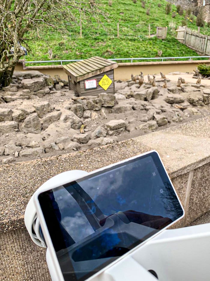
As an added bonus, when the firm found that they did need to return to the zoo for further captures, they were able to do so even though the public had returned. “The public were no impact whatsoever,” says Beardsley, due to the extra speed and noise removal functions of NavVis VLX. That simply wouldn’t have been the case with TLS.

dudley_castle_image3

A (virtually) unprecedented workflow

Beardsley says that since this initial project, Terra Measurement has been using NavVis VLX strategically on a number of topographic surveys. But he’s careful to note a few caveats.

For one, he says, you should always ensure that mobile mapping is the best fit for the project before you use it. For instance, he says his team has used NavVis VLX when they are performing a building measurement capture of a restaurant and the client wants a small topo survey of the surrounding area.

“Since we are able to tie NavVis VLX into the control network we set up inside, and there is limited vegetation” he says, “that makes it easy. But mobile mapping is not an absolute solution for every survey project. There are some environments where it just won’t work.”

He also says it’s not as simple as buying a mobile mapping system and heading into the field to capture data for a virtual survey. “If you want to use a tool like NavVis VLX, and you want to meet the standards of your clients, you should understand what the best practices are. You should understand how to use a hybrid survey workflow. You’ll need to understand control networks, and know how SLAM scanning works to make your data as accurate and reliable as possible.”

However, if the job is right, and you know what you’re doing? NavVis VLX could be the first mobile mapping system that you can use for virtual topographical survey.

NavVis-LSP-background-website

Take the next step in the mobile mapping revolution

The speed and scalability of mobile mapping devices are the best they've ever been, bringing survey-grade accuracy to the most challenging projects. Get hands on with NavVis VLX and see for yourself what's possible.

Book a demo