Building on Truth:
How BIMstream uses NavVis to put owner-ready Reality Capture into everyday work
Key takeaways
- Faster capture at scale — NavVis VLX enables BIMstream to document hundreds of thousands of square feet per shift across large facilities and campuses.
- Weeks, not months — Projects like airports and stadiums are scanned and modeled in a fraction of the time once required.
- Instant collaboration — NavVis IVION gives stakeholders access to site data within hours, improving coordination and decision-making.
- Consistent accuracy — The reliability of NavVis scanning supports BIMstream’s in-house modeling and high project standards.
- Actionable data for owners — NavVis deliverables feed into long-term planning, asset tracking, and facility management.
Peter Garran, Founding Partner of BIMstream, began his career at the renowned architecture firm Skidmore, Owings & Merrill (SOM), a global design and engineering powerhouse known for visionary architecture, integrated technology, and performance-driven innovation.
During his time at SOM, he was immersed in a culture where technology was integral to design. SOM had already built three proprietary CAD platforms - decades before CAD was common - so architects and engineers could model and document complex buildings digitally.
That early, hands-on exposure to cutting-edge tools profoundly shaped Peter’s approach to technology and design. In fact, the lessons from SOM became the foundation for a series of ventures Garran would go on to build.
His first, Quantum Leap, worked to bring the SOM/IBM software called Architectural & Engineering Series (A&ES) to more AEC groups. After that, he founded Archimove, which produced films, stills, and interactive media for major projects (and revealed just how little direct access many owners had to their own spatial data).
Then, in 2008, he launched HYV, an owner-first, browser-based interface for viewing Revit information, complete with APIs to support outside contributors. The deep tech-focused venture developed working prototypes, intellectual property, and hundreds of user stories with engaged partners. But despite the promise, the supporting technology - particularly scalable reality capture - simply wasn’t ready.
For Garran and HYV, there wasn’t a reliable and affordable enough way to scan the existing conditions of buildings at scale and tie models back to what was actually true.
But, in 2015, as SLAM-based scanning began to mature, Garran acted on the opportunity to combine his vast knowledge of building on truth with the technology. He then founded BIMstream, a multidisciplinary AEC firm made up of architects, engineers, technologists, and construction professionals.
BIMstream is a services company that specializes in two core services: Reality Capture and Digital Twins. NavVis reality capture technology is fundamental to both.
How NavVis fits into the work
Today, BIMstream is led by Founding Partner Peter Garran and Managing Partner Nishan Kohli, who joined in 2018 and has been pivotal in scaling the company from a boutique studio into a national leader in digital twin and reality capture solutions.
Nishan’s strength in business strategy and operational leadership ensures BIMstream’s delivery model and culture of excellence are built to grow sustainably. While Garran drives vision and innovation, Kohli translates that vision into disciplined execution - together, they form a partnership that balances creativity and precision at every level of the organization.
Their production team - more than 130 architects and engineers - is also the heart of BIMstream’s success. The company is extremely proud of the studio’s talent, hard work and unwavering commitment to quality. This in-house expertise ensures modeling standards remain consistent across a wide range of project types and building conditions.
Their leadership balance and production team has helped BIMstream grow while staying true to its mission: capturing reality at scale and turning it into models that teams can trust and use.
NavVis has played a key role in this mission, and BIMstream has, since its founding, utilized every generation of NavVis reality capture device in the process.
In particular, they currently operate a fleet of NavVis VLX dynamic laser scanners, wherein a single scanner shift covers around 100,000 sq ft. On larger projects, staggered shift planning allows BIMstream to exceed a million square feet per day. Of note, BIMstream has never outsourced any element of its work - all scanning, modeling, and production are performed entirely in-house.
BIMstream’s survey control is leveraged frequently. Local partners establish the network; NavVis data is tied to it, so accuracy holds up across contract networks, overlaps, and phased work. Their production team (more than 120 architects and engineers) handles their modeling, which is key for keeping standards consistent across a wide range of project types and building conditions.
Once spaces are captured and data is processed, the data is made available in NavVis IVION, where stakeholders can explore the site virtually, take measurements, and flag issues, most of the time within hours of the scan being completed.
This rapid handoff means project teams can align on next steps while modeling is still in progress. It also allows people who wouldn’t otherwise be involved - facilities teams, engineers, maintenance planners, site leads - to work from the same spatial reference, without needing to be physically present or wait for formal deliverables.
"What we’re doing in the field, and the data we’re delivering to AEC teams and to owners, has become an absolute necessity. There are so many people who rely on this information, and if you don’t get it right from the start, it can have a really negative ripple effect throughout the entire project.
It all comes down to reliability, accuracy, and the quality of the data.
BIMstream wouldn’t be where it is today if NavVis didn’t exist as a company — and if NavVis VLX hadn’t come along. It completely changed everything for us.”
Owners, assets and everyday use
Key to BIMstream is also enabling building owners themselves with living records of their spaces. For these users, the first goal is to get a clear picture of what’s there. However, as is often the case, once they have access to NavVis IVION and understand the depth of the spatial record, new opportunities emerge.
On a project where BIMstream experts scanned a laboratory, the scope started with basic visualization and walkthroughs. As more teams began using the data, the request expanded into full-detail modeling down to ½-inch conduits, with tagging of major equipment and pipes for asset tracking.
BIMstream now photographs equipment nameplates as standard. The team is also piloting automated classification in the field, with the goal of feeding the verified geometry and metadata directly into asset management platforms like IBM Maximo and IBM TRIRIGA.
As Peter notes, this evolution - from construction coordination to long-term operations - is becoming more common. Owners are increasingly using spatial data not as a one-off handover package, but as a working system that supports planning, compliance, and asset management.

Want to learn more about how you can optimize your scan-to-BIM workflows with 3D laser scanning?
Notable BIMstream projects with NavVis
Speed, accuracy, and usability have been key themes across some of BIMstream’s most high-profile projects:
Location: Boston, MA, USA
- Entire campus (~110 buildings) scanned and updated in phases
- Buildings rescanned after renovations to maintain a living record
- Measured against a TLS-based workflow, BIMstream delivered significantly faster results
- The University was pleasantly surprised at the speed compared to its previous terrestrial scanning effort.
- Size: 10 million+ sq ft, scanned in clusters up to ~500k sq ft at a time
- Schedule: tight academic calendars (scans scheduled around classes and operations)
- Crew: Up to 5 NavVis VLX units; separate above-ceiling MEP team of 2–6 field engineers; PMs on site coordinate access and support clients
- Challenges: Active labs with sensitive equipment, live classrooms, and student accommodation
Location: Boston, MA, USA
- Full architectural, structural, and MEP digital twin delivered
- Work performed without forcing venue closure
- Stadium had never been scanned before; previous work was manual measurement. Initially planned as a five-year effort, BIMstream completed the capture and modeling in less than one year
- With unfettered access, the work could have been finished in under eight weeks. Field crews of 1–2 engineers used NavVis VLX, Leica RTC360, and GeoSLAM Revo.
- Size: ~400k sq ft
- Duration: < 1 year (with constrained access)
- Sensors: 1–4 NavVis VLX units at any given time, plus Leica RTC360 and GeoSLAM Revo
- Challenges: historic structure with multiple level changes, ramps, and hard-to-access spaces. One task required scanning beneath the grandstands on a dirt floor.
Location: Las Vegas, NV, USA
- Terminal and concourses scanned in ~2–3 weeks
- Data aligned and shared in NavVis IVION for both design and facilities teams
- Client noted how quickly the reality capture was completed on site
- Size: 2 million+ sq ft
- Crew: 6–8 engineers plus 1–2 PMs
- Sensors: 6 NavVis VLX units
- Constraints: continuous security escort, after-hours scanning, and high outdoor heat requiring efficient shift planning
Location: New York, NY, USA
- Verified chronological record created across demolition, exposure, and installation phasess
- Workflow combines multiple sensors: Leica RTC360 for stairwells, NavVis VLX for most areas, and GeoSLAM Revo above ceilings. Typical sensor mix: ~70% NavVis VLX, 15% TLS, 15% Revo
- A combined point cloud integrates all data sources for accuracy.
- Size: 1–2M sq ft per building
- Duration: ~1 week on site per project, with return visits as required
- Sensors: 5 NavVis VLX
- Crew: Up to 8 field engineers and PMs
- Constraints: documenting structure and floor condition is critical. Smaller follow-on crews (sometimes a single engineer) often return once areas are exposed, with new data layered into the project model.
Notable BIMstream projects with NavVis
Speed, accuracy, and usability have been key themes across some of BIMstream’s most high-profile projects:
Scenario: Portfolio-scale university campus documentation
Location: Boston, USA
Key outcomes
— Entire campus (~110 buildings) scanned and updated in phases
— Buildings rescanned after renovations to maintain a living record
— Measured against a TLS-based workflow, BIMstream delivered significantly faster results. The University was pleasantly surprised at the speed compared to its previous terrestrial scanning effort.
Site characteristics
— Scale: 10 million+ sq ft, scanned in clusters up to ~500k sq ft at a time
— Schedule: tight academic calendars (scans scheduled around classes and operations)
— Crew: Up to 5 NavVis VLX units; separate above-ceiling MEP team of 2–6 field engineers; PMs on site coordinate access and support clients
— Challenges: Active labs with sensitive equipment, live classrooms, and student accommodation
Scenario: Scanning historic baseball stadium during live operations
Location: Boston, USA
Key outcomes:
— Full architectural, structural, and MEP digital twin delivered
— Work performed without forcing venue closure
— Stadium had never been scanned before; previous work was manual measurement. Initially planned as a five-year effort, BIMstream completed the capture and modeling in less than one year. With unfettered access, the work could have been finished in under eight weeks. Field crews of 1–2 engineers used NavVis VLX, Leica RTC360, and GeoSLAM Revo.
Site characteristics:
— Size: ~400k sq ft
— Duration: < 1 year (with constrained access)
— Sensors: 1–4 NavVis VLX units at any given time, plus Leica RTC360 and GeoSLAM Revo
— Challenges: historic structure with multiple level changes, ramps, and hard-to-access spaces. One task required scanning beneath the grandstands on a dirt floor.
Scenario: High-security airport
Location: Las Vegas, USA
Key outcomes:
— Terminal and concourses scanned in ~2–3 weeks
— Data aligned and shared in NavVis IVION for both design and facilities teams
— Client noted how quickly the reality capture was completed on site
Site characteristics:
— Size: 2 million+ sq ft
— Crew: 6–8 engineers plus 1–2 PMs
— Sensors: 6 NavVis VLX units
— Constraints: continuous security escort, after-hours scanning, and high outdoor heat requiring efficient shift planning
Scenario: High-traffic international airport
Location: Austin, USA
Key outcomes:
— Scanning progressed without interrupting daily operations
— Completed ahead of schedule by leveraging NavVis VLX as much as possible, combined with TLS where necessary
— Extensive survey control established across the landside area of interest, in collaboration with a survey partner
Site characteristics:
— Size: 5 million+ sq ft
— Duration: ~2 weeks on site
— Sensors: 5 NavVis VLX, 1 Leica RTC360, 3 GeoSLAM Revo (above ceiling), and a vehicle-mounted SLAM system for parking garages
— Constraints: all crew required airport badges; roadway scanning scheduled to avoid peak traffic periods
Scenario: Phased redevelopment of large-scale buildings
Location: New York, USA
Key outcomes
— Verified chronological record created across demolition, exposure, and installation phases
— Workflow combines multiple sensors: Leica RTC360 for stairwells, NavVis VLX for most areas, and GeoSLAM Revo above ceilings. Typical sensor mix: ~70% NavVis VLX, 15% TLS, 15% Revo
— A combined point cloud integrates all data sources for accuracy
Site characteristics
— Size: 1–2M sq ft per building
— Duration: ~1 week on site per project, with return visits as required
— Sensors: 5 NavVis VLX
— Crew: Up to 8 field engineers and PMs
— Constraints: documenting structure and floor condition is critical. Smaller follow-on crews (sometimes a single engineer) often return once areas are exposed, with new data layered into the project model.
Looking ahead with NavVis
BIMstream’s use of NavVis, as Peter is quick to point out, is not about adopting new gadgetry. It’s about working with a system that fits the speed, complexity, and expectations of modern construction and modeling.
With NavVis VLX, teams scan efficiently and produce high-quality results, even in challenging environments. With NavVis IVION, that data becomes usable almost immediately by both technical and non-technical users.
And when support is needed, it is available directly through close working relationships with key representatives from both the NavVis customer success team (like Austin Jennee, CSM) and account team (like Marek Koltun, AE)
This combination of technology and company support has enabled Garran, Kohli, and the rest of the BIMstream team to explore new directions, including the creation of CERQA, a web platform intended to host 360° imagery and walk-throughs, 2D/3D building documentation, and digital twins for AEC project teams as well as non-technical clThe platform is being designed with published APIs so that owners with large portfolios can integrate directly with their existing internal systems.
CERQA reflects the same principle Garran has carried forward from his earliest ventures: building on truth. And NavVis will remain central to making that principle practical at scale.
It’s a point he’s firm about: “BIMstream would not be where it is today without NavVis.”
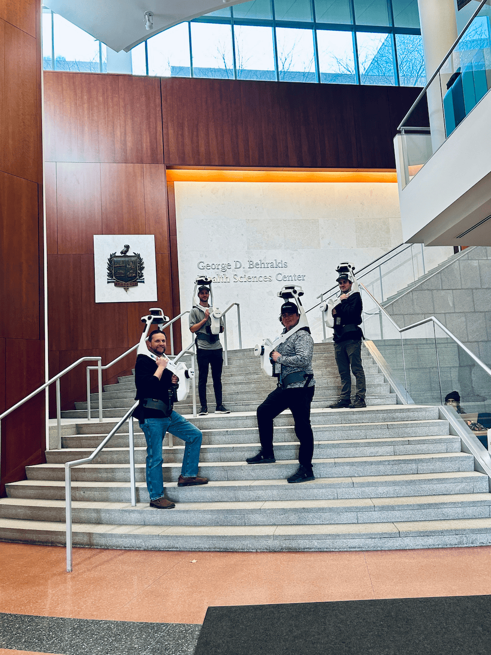
Next generation 3D laser scanning is here
Wearable, 3D laser scanning devices are faster and more scalable than ever before, providing survey-level data quality for even the most demanding projects.
Find out how our entire reality capture solution can benefit your scan-to-BIM workflows by chatting with one of our experts:

