
NavVis LX-Series
Industry-leading reality capture for every scanning workflow
Driven by SLAM technology and NavVis software, the LX-Series gives reality capture teams a flexible portfolio of dynamic laser scanning systems for complex indoor and outdoor environments.
From high-performance wearable scanning with NavVIs VLX 3, to versatile handheld capture with NavVis MLX, to agile everyday documentation with NavVis CLX, the LX-Series helps teams gather reliable spatial data quickly, accurately, and at scale.
NavVis LX-Series Reality Capture Devices
Our cutting-edge 3D laser scanning technology offers a comprehensive solution for capturing detailed, survey-grade data in a variety of environments both indoors and outdoors. Whether you’re a professional surveyor seeking accurate, reliable results or a reality capture specialist looking to efficiently capture high-quality data at scale, the NavVis LX-Series wearable and handheld reality capture devices are designed to meet your needs and exceed your expectations. Leverage the power of SLAM with industry-leading equipment and transform the way you capture reality.
NavVis CLX
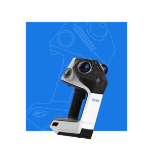
Everyday reliability
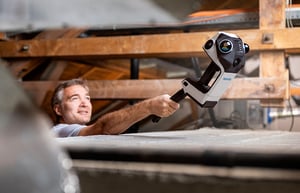
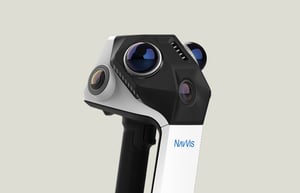
An agile, handheld reality capture device purpose-built for high-volume, everyday documentation workflows.
Project complexity
- Routine building documentation and site updates
- Active construction sites with changing conditions
- Fragmented or hard-to-reach environments
- Ideal for: frequent, repeatable documentation projects requiring fast, reliable capture at scale
NavVis MLX
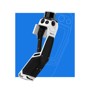
Redefining handheld reality capture
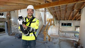
A professional and versatile handheld reality capture device that delivers outstanding data quality, ideal for confined spaces and frequent scans.
Project complexity
- Existing buildings with structural complexity and confined spaces
- Congested construction sites with challenging or limited capacity
- Ideal for: Projects requiring the versatility and portability of a handheld coupled with higher data quality requirements
NavVis VLX 3
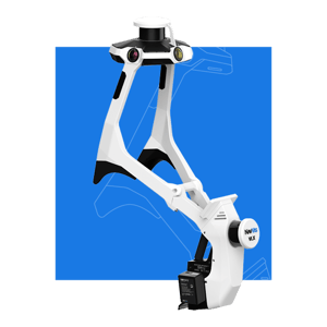
The cornerstone of reality capture
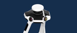
The industry-leading wearable reality capture device for highly detailed, comprehensive and accurate indoor and outdoor reality capture.
Project complexity
- Indoor and outdoor
- Large existing buildings with technical complexity
- Heavy civil infrastructure projects and industrial facilities
- Projects requiring comprehensive, detailed, and efficient data capture at range
- Ideal for: large-scale, complex projects requiring comprehensive, high-quality capture across demanding environments
What our customers say
"One of the first benefits is that we’re able to do big projects faster. With mobile mapping, we can travel to a site and spend one or two days instead of four or five — and that’s helping us with one issue in the industry that everyone knows about: lack of resources. Everyone’s trying to hire laser scanning professionals, and there’s a lack of people. So, we look at tools like this as efficiency gainers. We’re able to do more with what we have by buying a new tool rather than hiring another person."
Matthew Byrd, RCN

"For area referencing surveys, NavVis CLX is fit for purpose. What these surveys need is great relative accuracy – understanding how many square meters are in each space. Coupled with the versatility and ergonomics, that makes it an excellent choice."
Mark Wakeling, Plowman Craven
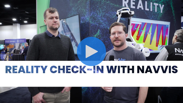
“Accuracy, but lightness and ultimately speed, is what makes NavVis MLX incredibly interesting for us. When we look at the point cloud, we can see the results.
We've worked a lot with other handheld devices so far, and our experiences haven't always been positive. And when I look at these small measurements that we've taken here and see how stable the data is, even just on the display without having done any post-processing, it's amazing how the geometries fit. That shows us that we have a device that comes very, very close to us in terms of surveying technology.”
Claus Fischer, Angermeier
Find the perfect solution for your business
We’ll guide you through the process of selecting the ideal dynamic scanning equipment from our NavVis LX-Series. We understand that every business has unique needs and every project has different requirements. That’s why we offer more than one solution, giving you the power to choose what solution suits you best.


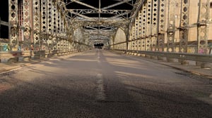
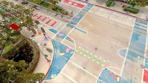
NavVis LX-Series point clouds

Resources