

Data centers have no room for late surprises
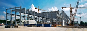
Data center projects leave little room for late discovery. Small clashes, missing details, and incomplete handover records can create expensive problems once the next phase begins.
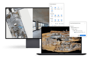
NavVis helps teams document the real conditions of data center construction sites, so project teams can see what has actually been built, act earlier, and keep a reliable record for handover and operations.

Small differences in position, spacing, or layout may not show up clearly in photos, but they can affect installation and create problems for the next trade.

Once MEP teams begin their work, conditions that weren't visible during the shell phase can become expensive to correct.

When issues are found after the next phase has started, teams have fewer options and higher costs.
How Equans captured a live data center project
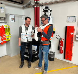
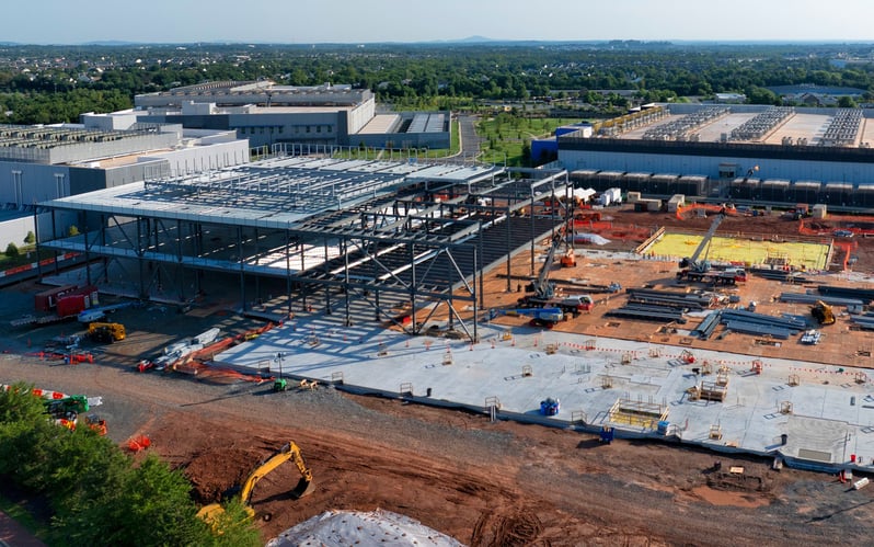
Equans used NavVis to document a large European data center project quickly, across multiple floors, while construction verification was still underway.
-
25,000 m² captured in two days
A large project area was documented quickly, giving teams a current view of real site conditions.
-
Six floors documented
The project record covered multiple levels of work, not just isolated progress updates.
-
Design vs. build discrepancies identified earlier
The scan helped reveal misplaced openings, shifted installations, and missing components before they became harder to resolve on site.
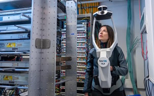
Document construction progress quickly across large, complex spaces.
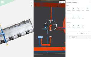
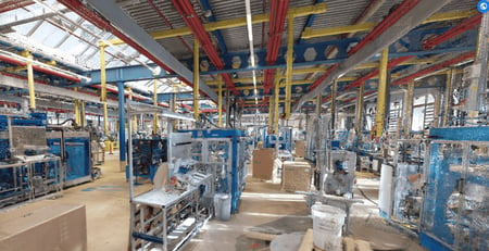
Review real site conditions against available project information.
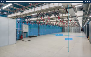
Use timestamped, spatially accurate data to support coordination, claim management, and issue resolution.
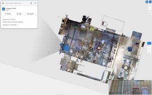
Give project teams, trades, owners, and operators a common record of what has actually been built.
For general contractors
For owners & operators
Keep the build on schedule by catching issues earlier.
For general contractors, every unresolved issue can turn into rework, and every rework loop puts the schedule under pressure. NavVis supports construction verification by helping site teams document what has actually been built, review conditions before the next phase begins, and resolve questions with a measurable record.
-
Document large areas during active construction, without relying only on external survey support.
-
Catch structural differences before MEP installation makes them harder to fix.
-
Resolve subcontractor discussions with a geometric record, not only photos or claims.
-
Give every trade the same verified as-built at handover, helping reduce clashes and surprises downstream.
An independent view between contract and handover.
You won’t always know what’s happening on site. NavVis gives owners and operators an independent view of what has actually been built, so you are not relying only on the teams doing the work to report on progress. At handover, that same record becomes a geometric as-built your operations team can use for maintenance, renovation, and future expansion.
Explore more for data center projects