
Skip to content
CLX-page-hero

NavVis CLX

Everyday reliability

An agile, handheld reality capture device purpose-built for high-volume, everyday documentation workflows.

NavVis CLX helps teams capture and deliver spatial data at scale when simplicity, reliability, and ROI matter.

Unique benefits

One site visit. Complete data.
Job done.

Dual lidar plus live coverage feedback on the integrated screen means you validate completeness before you leave site. Revisits are the most expensive line item in a capture project – NavVis CLX is built to eliminate them.

1-one-site-visit-1
Get it done the first time – every time.

Fast to learn and reliable in the hands of anyone in your team. Remove the limit on how many projects you take on. Free your senior people from time-consuming site visits and scale throughput without scaling the team.
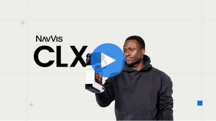
Draw on ground truth, not guesswork.

Clean point clouds you can use for LOD200 scan-to-CAD/BIM. No double walls, tilts, or spray artifacts. Draw on ground truth, not data you have to interpret or second-guess. Fewer cleanup hours mean more projects with the same headcount – and consistent quality your clients can trust.

From site visit to deliverable, one workflow

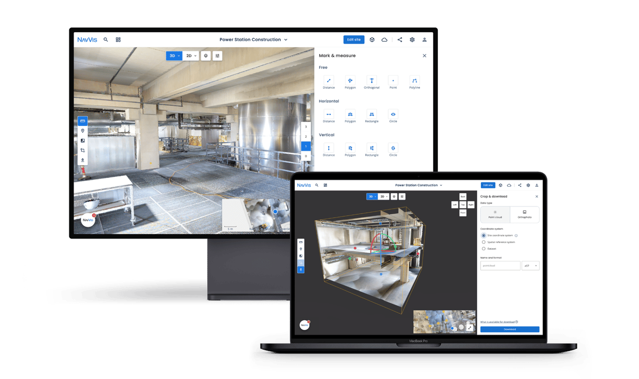
Capture on site, process the data in the cloud, and access it all in one place from anywhere. No other tools in between. Download the .e57 file or an orthophoto for drawing in CAD tools or stream the point cloud straight into Revit. Always work on the reliable ground truth. And because NavVis IVION is a digital copy of the site, the whole project team can explore, measure, plan, and verify. It is more than just a scanner. It is a workflow. 
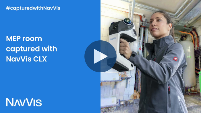
NavVis CLX resources

Download NavVis CLX product brochure and data sheet.

CLX-point-cloud-slider-1
CLX-point-cloud-slider2-1
CLX-point-cloud-slider3-1

Customer testimonials

Mark_160x160px_draft

At Plowman Craven, we work with the entire NavVis series, and we see value in each of those systems. The NavVis VLX is great for high-productivity, long-range capture, indoors and outdoors; the NavVis MLX is ideal for more versatile indoor work. NavVis CLX now enables even greater ease of use in constrained spaces.

Mark Wakeling,
Plowman Craven 
Mile_160x160px_draft

NavVis CLX could be used by customers who are accessing properties on the spot, often without returning anytime soon. It would allow them to obtain something genuinely useful while they are there. We also have hundreds of projects, from crosswalks to other roadwork projects, and every one of them requires documentation. NavVis CLX can provide the solution for capturing everything. It is perfect for the types of jobs we look into.

Mile Petrovic,
Exact

NavVis CLX features

Trusted, high-quality data

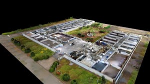
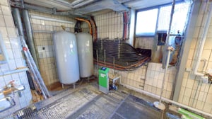
NavVis CLX produces clean point cloud data suitable for documentation, measurement, and downstream modeling workflows. Teams can work with dependable scan data while reducing cleanup effort.

CLX-point-cloud-slider3-1
2_Simple-to-learn-operate-1480x828-bentogrid (2)
Simple to learn, operate, and scale

NavVis CLX is fast to learn, easy to deploy, and built for repeatable workflows. Integrated 2D and 3D feedback helps teams onboard operators quickly and scale capture across more projects.

3_Built-for-the-real-world-1440x1388-bentogrid (2)
Built for the real world

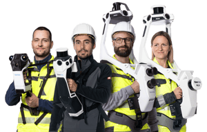
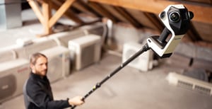
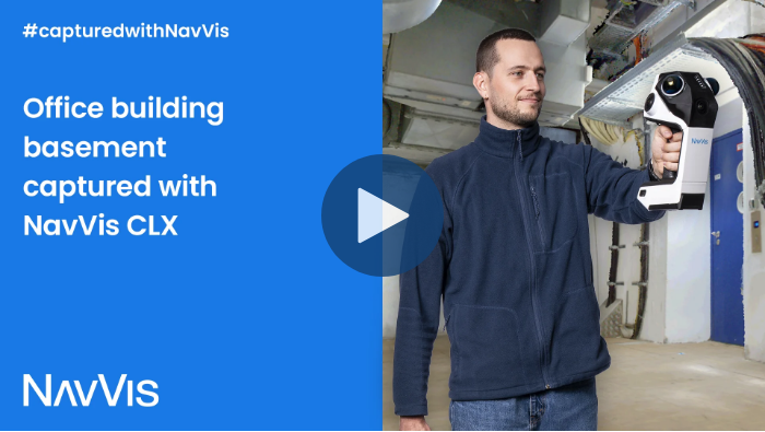
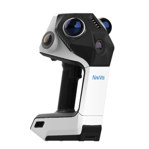
Lightweight, ergonomic, and flexible, NavVis CLX supports reliable documentation in occupied or confined areas. A quick-release pole and mount adapter enables access into hard-to-reach spaces and the included harness helps operators work comfortably during longer capture sessions.

Reliable, complete data capture

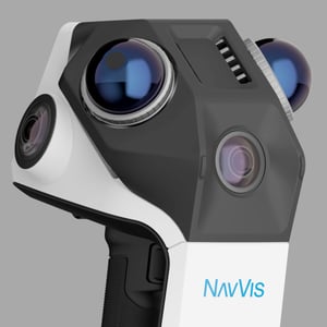
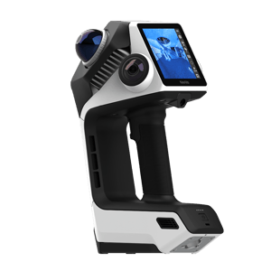
Dual lidar architecture, live visualization of coverage (2D and 3D) help operators validate capture completeness while scanning. The result is with less uncertainty and fewer costly revisits.
4_Reliable-complete-data-1388x1388-bentogrid
Purpose-built

NavVis CLX is designed for repeatable, high-frequency documentation workflows such as area referencing, site assessment, quantity surveying support, and LOD200 scan-to-CAD/BIM.
purpose-built
Efficiency beyond capture

Together with NavVis IVION Processing and NavVis IVION, NavVis CLX supports an efficient workflow from capture to processing, data access, collaboration, and deliverables.
navvis-CLX-display
navvis-CLX-front

Purchase NavVis CLX

Starting from

14,985 €*

*Nominal starting system package including hardware, software, and services. Pricing and configuration may vary by region.

How it works

Software

ppc-overview-lp-navvis-ivion-devices-combined


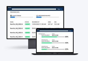
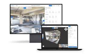
NavVis CLX is optimized to work seamlessly with NavVis IVION Processing and NavVis IVION, helping teams move efficiently from capture to processed data, access, and deliverables. Capture reliable as-is and as-built data with minimal effort, then process, manage, and share it in one connected workflow.


Together, NavVis CLX and IVION provide an end-to-end reality capture solution for everyday documentation, area referencing, and site assessment, and reliably support LOD200 Scan-to-CAD/BIM workflows. This combination helps teams reduce manual effort, support collaboration, and deliver consistent spatial data at scale.

FAQ

What exactly is NavVis CLX? NavVis CLX is a handheld reality capture device designed for everyday documentation across a range of environments and skill levels. Its lightweight and adaptable design enables easy handling and supports frequent capture of multiple sites, including hard-to-reach or confined spaces.
What project types and environments is NavVis CLX best suited to? NavVis CLX is optimized for small to medium-sized indoor environments and their immediate outdoor surroundings, typically from around 100 to 2,000 m², across residential, commercial, and industrial buildings. While not designed as a dedicated façade or long-range outdoor scanning device, its compact, flexible design makes it well suited to a wide range of everyday documentation tasks.
How is NavVis CLX different from NavVis MLX and VLX? When should I choose one over the other?

NavVis CLX is the smallest and most affordable device in the NavVis LX-Series, designed for reliable, high-volume everyday documentation. Its data quality is ideal for LOD200 BIM and CAD modeling, with a focus on portability, ergonomics, and straightforward operation.

Choose NavVis CLX for frequent documentation tasks such as site assessments, area and quantity surveying, and LOD200 Scan-to-CAD/BIM. For projects requiring greater detail or precision, including LOD300+ applications, NavVis MLX and VLX are the stronger fit. Rather than being defined simply by site size or complexity, each device is optimized for different project requirements, allowing teams to choose the right tool for each job.

What accuracy can I expect from NavVis CLX? NavVis CLX delivers colorized point clouds and panoramas optimized for LOD200 documentation and area-referencing workflows. Point clouds can be processed at resolutions of up to 5 mm to suit different project needs. Processed data delivers accuracy of up to 8 mm.
What does the capture workflow look like in practice, and how long does it take a team to learn? NavVis CLX is designed for straightforward operation with minimal training. The lightweight handheld device (approx. 1.8 kg) is comfortable for 10–20 minute unsupported capture sessions, with an optional harness for longer scans. Built-in 2D and 3D live coverage feedback helps operators see what they’ve captured as they go. With an understanding of dynamic scanning principles, such as loop closures, new operators can start capturing within minutes.
Can NavVis CLX be used alongside our existing NavVis devices on the same project?

Yes. NavVis CLX is designed to complement NavVis MLX and VLX within the same project or device fleet. Teams can choose the right device for different areas or requirements of a project, using NavVis CLX for everyday documentation while relying on NavVis MLX or VLX where higher levels of detail or precision are required.

How does NavVis ensure data security and privacy?

At NavVis, security and privacy are built into the very heart of our products and services. IVION data is stored on the Amazon AWS server location that the customer selects when creating their instance. All hosting locations are highly scalable, to support variable load, ensuring customers receive a stable and performant service globally. In addition, we use automated monitoring and alerting throughout to ensure we are able to proactively support our customers where necessary.

IVION has sophisticated and granular access and user management inbuilt, empowering instance administrators to flexibly and powerfully grant or rescind access to data held within the instance.
IVION undergoes four annual rounds of penetration testing by external companies. These experts look for vulnerabilities in our software and infrastructure.

All data at rest is encrypted, regardless of sensitivity, providing a uniform layer of security across all our cloud products.
NavVis has a Secure Development Policy covering all aspects of the software development and test lifecycle, to ensure that the software we produce continues to meet our own high standards for security.
To confirm our approaches meet industry best practices, NavVis undergoes regular assessments from external auditors, aligning our practices to applicable standards.

Learn more →

CLX-point-cloud-slider2-1

Have any questions about NavVis CLX?