

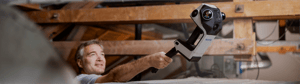
NavVis today introduces NavVis CLX, an agile handheld capture device purpose-built for high-volume, everyday documentation. Small, lightweight, straightforward to operate, and accessible at an affordable price point, NavVis CLX brings professional-quality reality capture to more of the documentation work teams handle every day.
NavVis CLX is built for frequent use across jobs such as area referencing, site assessment, and quantity surveying, and supports, LOD200 Scan-to-CAD/BIM workflows. Its design centers on the things that determine whether that work runs efficiently: getting the device into use quickly, knowing the required space has been captured, producing reliable data for downstream work, and keeping that data moving from processing to the final deliverable.
Within the NavVis LX-Series, NavVis CLX complements NavVis MLX and NavVis VLX by extending professional capture into more frequent, repeatable documentation workflows.
A capture device built for everyday use
High-volume documentation depends on a device teams can get into use quickly and use consistently from one job to the next.
NavVis CLX is designed to be fast to learn, simple to operate, and easy to deploy across teams. Streamlined workflows reduce training requirements and help new operators get started quickly.
The compact, lightweight form makes NavVis CLX easy to carry between jobs and maneuver through different environments. That flexibility extends to occupied, confined, and hard-to-reach spaces. The included pole and additional pole adapter for extended poles, helps operators reach elevated or difficult areas, while the optional harness supports hands-free operation and extended capture periods.
These choices make the everyday use of NavVis CLX simpler: getting it to the job, getting operators started, and moving efficiently through the space being documented.
Know what you captured before you leave
Once the device is in use, teams need confidence that the required space has been captured before they leave the site.
NavVis CLX combines a dual LiDAR architecture for the ultimate comprehensive capture with live visualization and coverage feedback on its integrated display. As operators move through a site, they can follow the capture in 2D and 3D and see which areas have already been covered and what has not.
Gaps can be identified during the visit and captured before the job is finished, so teams leave with a clearer picture of what they have recorded. That reduces the risk of return visits, extra coordination, and project delays.
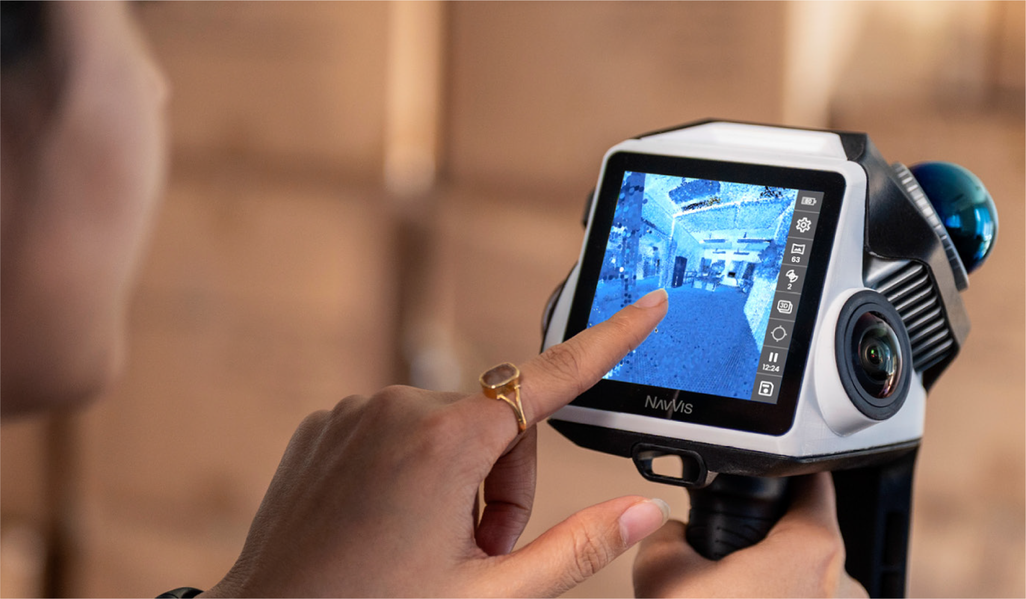
For high-volume documentation, confidence needs to be repeatable. The next job may be another floor, another building, or another site. NavVis CLX is designed to move with that rhythm and always be on hand when you need it.
Keep the record moving after capture
After capture, the record needs to move through processing and into the tools and teams that use it.
NavVis CLX works with IVION Processing and IVION to provide a streamlined path from capture to processing and data access.
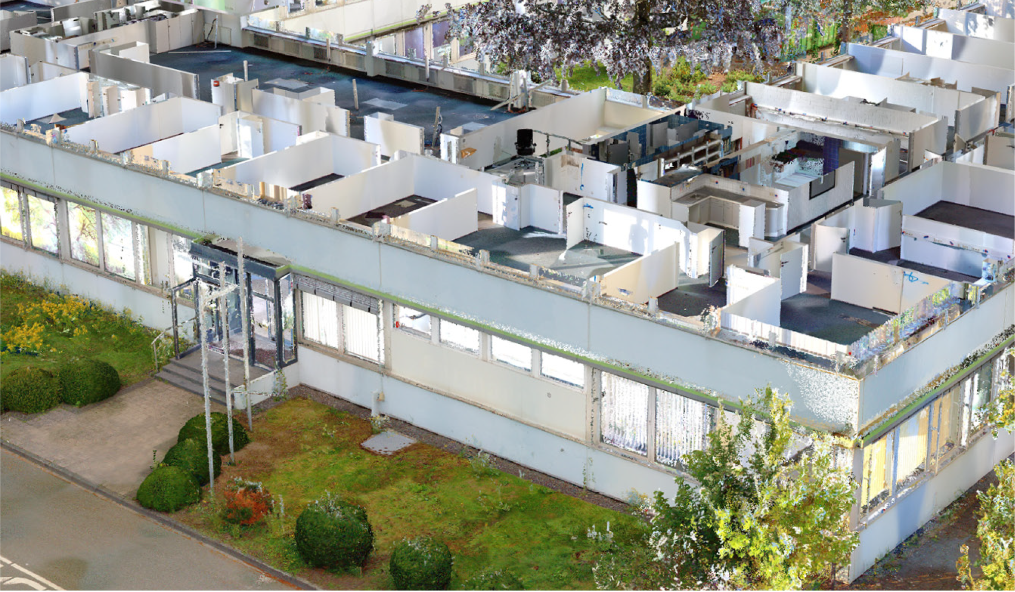
NavVis CLX data is processed using IVION Processing into registered point clouds. It is then managed and accessed in IVION, giving the wider project team access to the captured site for exploration, measurement, planning, and verification. For downstream use, point clouds can additionally be exported in a variety of formats including orthophotos, while point clouds can additionally be streamed directly into Revit for CAD or BIM.
The record created on site can keep serving the project as the work develops. The same captured reality can support a model or drawing and remain available for later measurements, checks, and decisions.
This gives teams a clear route from capturing a space to putting that information to work, without breaking the workflow into disconnected steps.
Give modelers ground truth they can use
Once the space has been completely captured and processed, the resulting data needs to support the work that follows.
NavVis CLX is designed to produce clean, low-noise, structured point cloud data for documentation, measurement, and downstream modeling workflows.
For LOD200 Scan-to-CAD/BIM, this gives modelers reliable geometry to draw from. Cleaner point clouds mean fewer double walls, and spray artifacts around fine objects that can otherwise require additional interpretation or correction before modeling begins.
Across a high volume of projects, less time spent capturing, processing, and cleaning data means lower costs and greater capacity, enabling teams to take on more projects with the same headcount .. Cleaner inputs also help teams maintain a consistent standard of documentation your clients can rely on project after project.
Built for documentation at volume
NavVis CLX continues NavVis' tradition of handheld innovation, shaped specifically for the pace and demands of frequent, high-volume documentation at an affordable price point.
It gives teams another way to bring professional reality capture into the work that repeats across floors, buildings, and sites every day. The workflow stays consistent from one job to the next, helping teams get started quickly, confirm their capture on site, and carry reliable data through to the final deliverable.
Within the NavVis LX-Series, NavVis CLX adds a purpose-built option for teams handling high volumes of documentation, making professional reality capture easier to use as a regular part of the working week.
Explore NavVis CLX
NavVis CLX is available today.
Discover more about NavVis CLX here: https://navv.is/3StenBl